
It's from Constitution Daily, and it contains an unusual depiction of Texas from 1862. You can see it on the bottom row towards the right. Its not the one we usually think of when we have a mental image of the state.
Here's another:
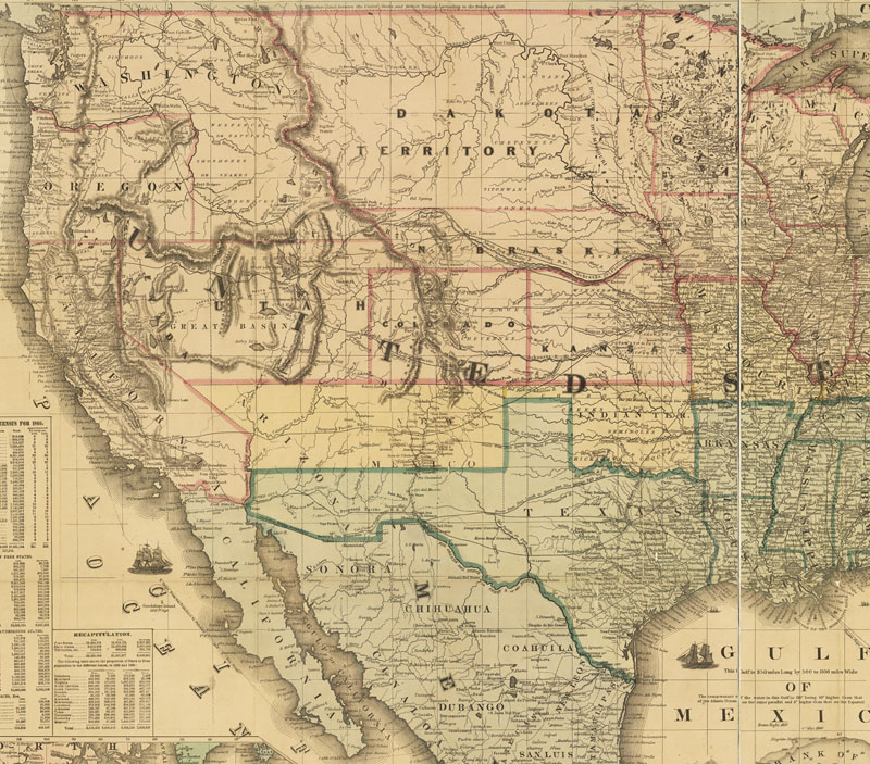
And of course we are familiar with the more expansive map that shows the border following the Rio Grande up through most of New Mexico and that contains bits of what is now Colorado and Wyoming. One thing that is in common with all of them is that they were wishful thinking to some degree. Despite claims to land, Texas and the US had yet to actually settle most of it. This process would not be complete until the Indian Wars were completed in the 1880s.
The point - for our purposes - is that states, along with nations, are political entities and their borders are defined by political means, despite whether they can actually govern all they contain.Cities are different. Cities are economic entities and have to obtain some degree of control over an area before they can lay claim to it. They are far more organic than states.
Something to bear in mind as we begin to explore federalism.